


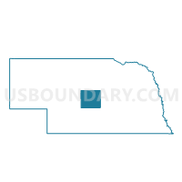
West Union Precinct, Custer County, Nebraska
About
Outline

Summary
| Unique Area Identifier | 612658 |
| Name | West Union Precinct |
| County | Custer County |
| State | Nebraska |
| Area (square miles) | 41.71 |
| Land Area (square miles) | 41.71 |
| Water Area (square miles) | 0.00 |
| % of Land Area | 100.00 |
| % of Water Area | 0.00 |
| Latitude of the Internal Point | 41.69037150 |
| Longtitude of the Internal Point | -99.49970270 |
Maps


Graphs
Select a template below for downloading or customizing gragh for West Union Precinct, Custer County, Nebraska


Neighbors
Neighoring Voting District (by Name) Neighboring Voting District on the Map
- Lillian Precinct, Custer County, NE
- Milburn Precinct, Custer County, NE
- Rural Sargent Precinct, Custer County, NE
- Sawyer Precinct, Loup County, NE
Top 10 Neighboring County Subdivision (by Population) Neighboring County Subdivision on the Map
- Sargent township, Custer County, NE (671)
- Madison Square precinct, Loup County, NE (182)
- Lillian township, Custer County, NE (150)
- West Union township, Custer County, NE (75)
- Milburn township, Custer County, NE (55)